Retracing the Footprints of GAUR Empire | AIUB

Gauḍa or Gaur, also known as Lakhnauti, is a ruined city that served as the capital of Bengal between the 12th and 16th centuries. This project aims to the reformation of this archeological site into a gateway of tourism for the two countries recalling the ancient memories of Gaur emblem in Indian subcontinent.

This former citadel is situated on the present Indo-Bangladesh border where comparatively smaller part is located in Nawabganj District of Bangladesh. It lies on a narrow strip of land near the former junction of the old Ganges and the Mahanada rivers and was probably selected as a capital of convenience of water communication with all parts of the country after the downfall of the former and equally large, capital of the Pandua. Now the parts of the Gaur in Bangladesh mainly used as the transportation hub between India and Bangladesh via Sona Mosque Landport.


Over a period of four centuries, Gauda has seen ruled by more than a dozen ruling dynasties. Today it is the home of some spectacular archeological ruins mostly from Bengal’s Islamic period. Historically and architecturally there is much in Gauda that is of interest, especially its glorious mosques. The regeneration of architectural heritage of Gaur emblem is proposed to be performed by retrofitting the existing building into a functional space. The proposed heritage buildings to be reformed are:
Choto Sona Mosque . Tahkhan Complex and Mosque . Shah Niamatullah’s Shrine . Darasbari Mosque and Madrasa . Khania Dighi Mosque . Land port Immigration of Choto Sona Border

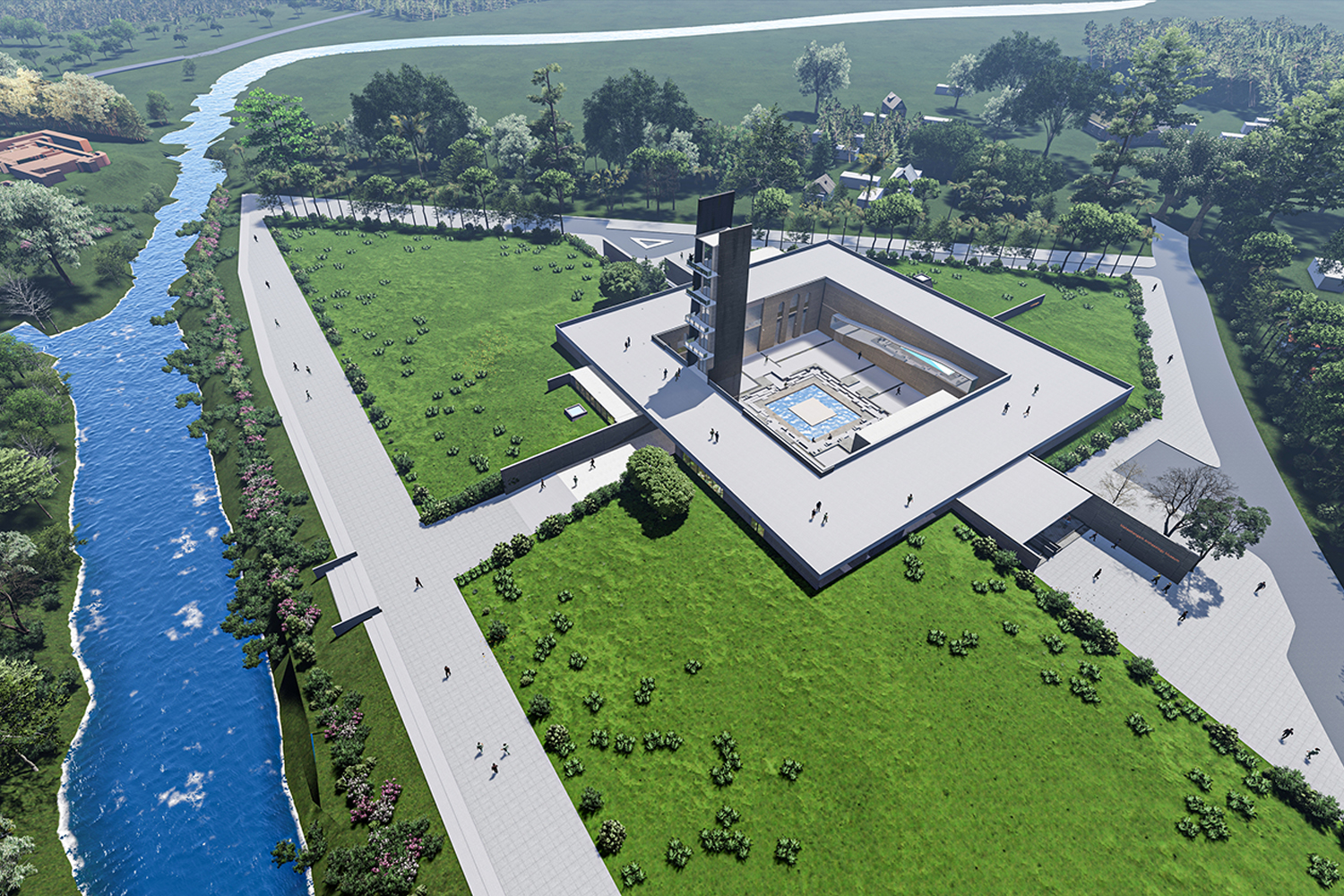
Retracing the ancient map of Gaur, 1801, the circulation layout is regenerated through new landscape development. The main idea of the project was to create a continuous loop of circulation that can give an essence of walk through to the capital of Medieval GAUR of 1400AD period.
Starting from the Choto Sona mosque point, a tourist can be facilitated with the programs he is required to have while visiting an archaeological site. The first point of interest Choto Sona mosque is redeveloped with new landscape design including parking facility, restrooms, information center, exhibition space and internal transportation pick up point.


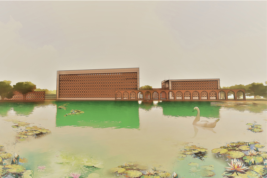
New built form and landscape formation is generated referencing from the Islamic Architecture pattern of 1200AD and following the pure geometrical shape (Rectangle) mostly used in the planer organization of building and mosque plans. Being an archeological site, ruins of the ancient Gaur found in the site and site surroundings is used for re development of new circulation and landscape retracing the old map founded in British Museum.
About the design of new museum, all the forms and patterns are derived from the existing architectural styles and patterns from the ruins. The Jali work that is represented for fencing and elevation treatment reflects the Islamic Architectural motifs used by the Sultans and Turkish rulers between 1200AD to 1400AD. Thick wall, brick detailing, Jali work and motifs found in Tahakhana complex is used for the new design museum, accommodation and landscape.


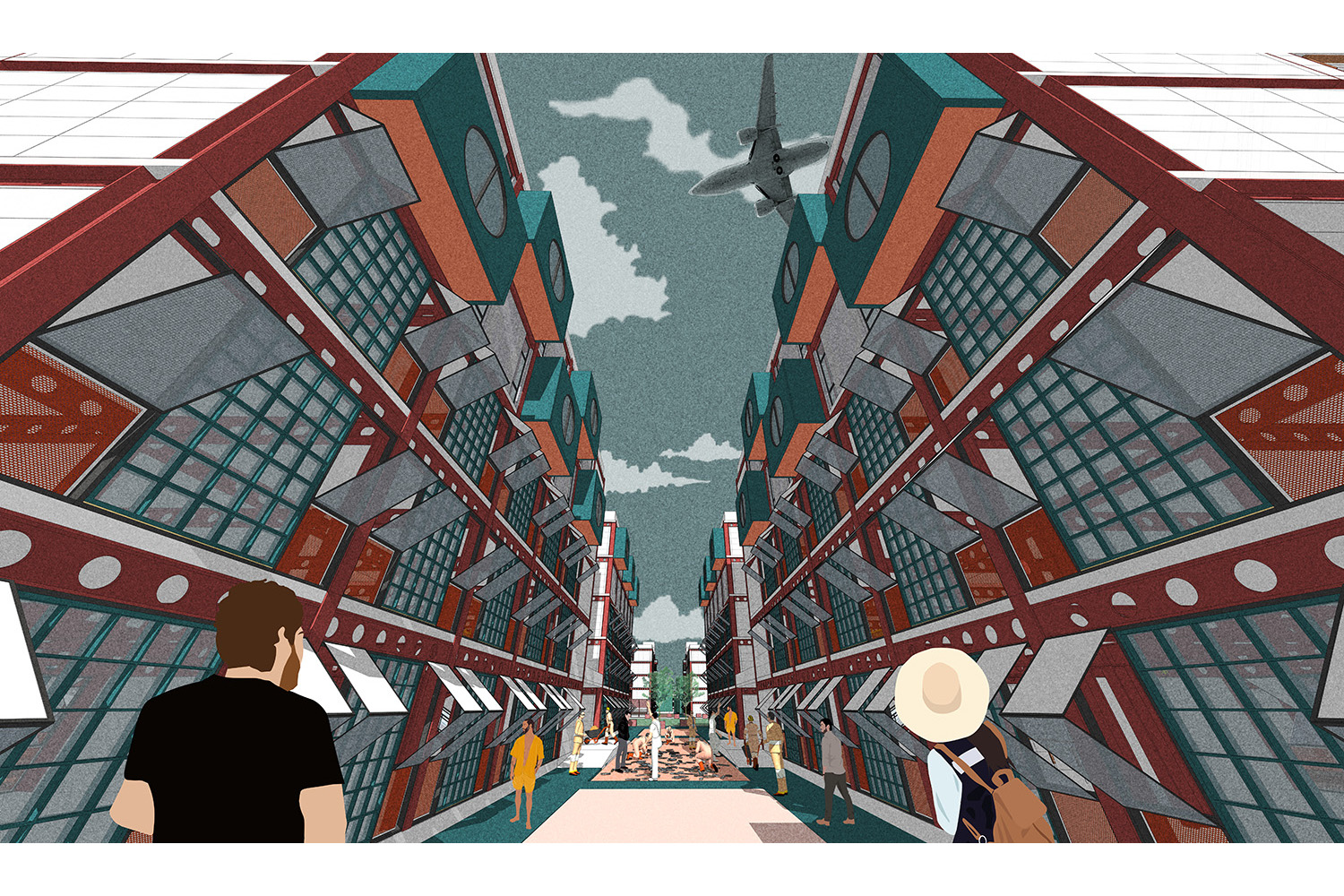
Choto Sona mosque and Tahakhana Complex is regenerated with continuous loop of circulation to GAUR empire connected via Indo Bangladesh border to Maldah. Tourist friendly functions like accommodations, library and museum is incorporated in design to enhance the landscape with the scope of learning from the past to present. The overall design represents the Pre-Islamic and Sultantate Architecture of Bengal with its own identity and style of being a part of art and culture of Bengal.
To submit project in CONTEXT send your project materials (images and text as separate attachments) to context.editor4@gmail.com


