Reviving the Vibrant Past of Shitalakshya Waterfront

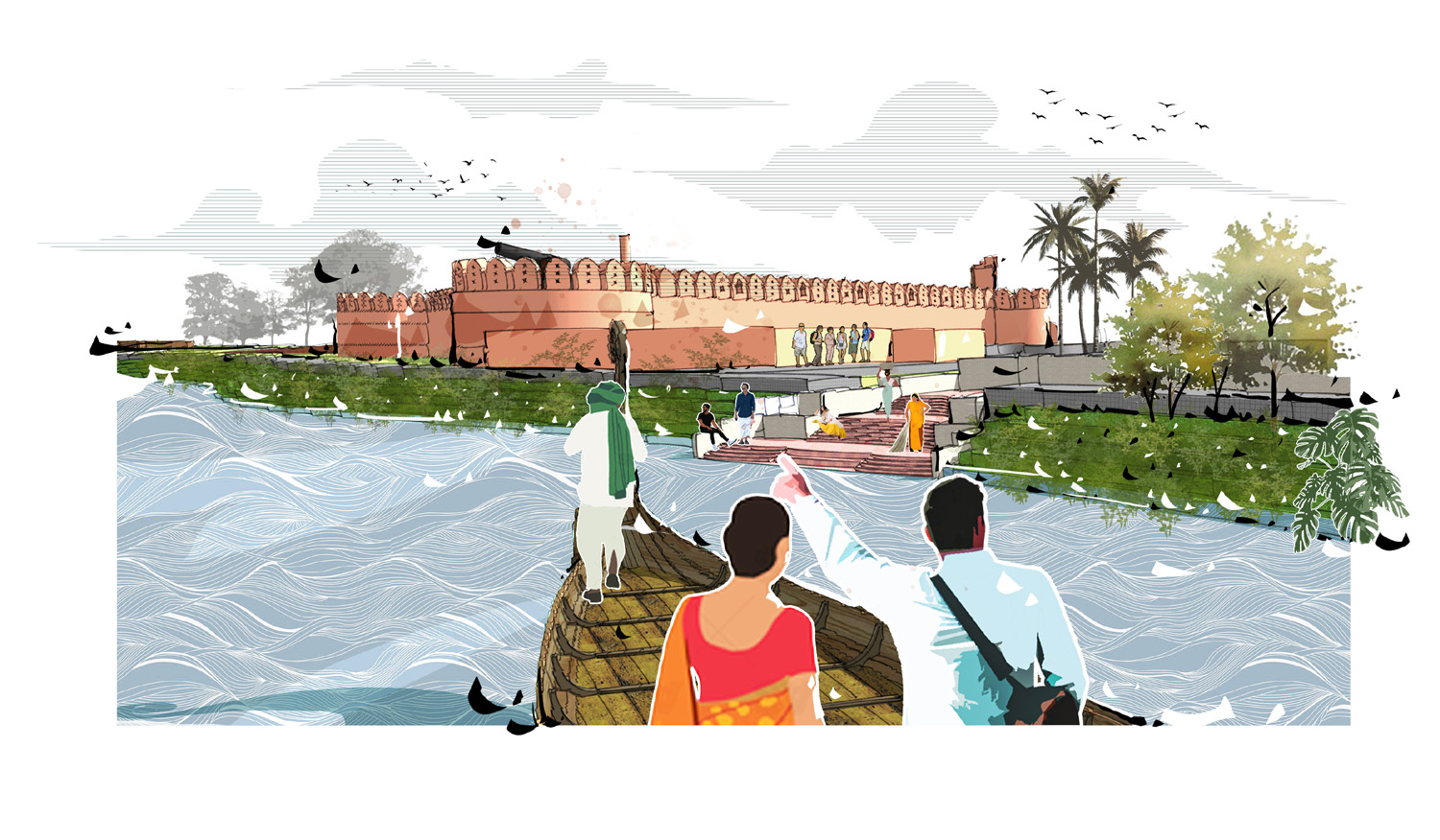
Urban sprawl and unplanned land use development have pushed back the Shitalakshya waterfront area to the neglected urban fringe of Narayanganj city. Presently, the city is facing the crisis of a breathing space capable of improving the quality of the urban environment. The site has its own vibrant historical past, containing both Mughal and Colonial heritage structures and open spaces with the scenic surroundings of the river. An integrated approach to designing a civic healing space, which attracts the city residents to explore the river edge area, can bring back the ambience of the glorious past that the city waterfront used to represent.

The urban waterfront holds the ecological resources, economic benefits, civic space for socialization and recreation. Like most cities, Narayanganj City grew up with the blessings of the river Shitalakshya. The river divided the city into two parts where the western part is comparatively urbanized rather than the eastern part. With the blessing of the Shitalakshya river, the western waterfront spine is holding the Mughal archeological structures, Government property (mostly BWDB & BIWTA), Kumudini Welfare Trust of Bengal-Dockyard, Central Warehouse and some wholesale businesses. It is assumed that the urbanization of Narayanganj started with the establishment of the Mughal defensive Water Fort and the development of a communication system with Dhaka.


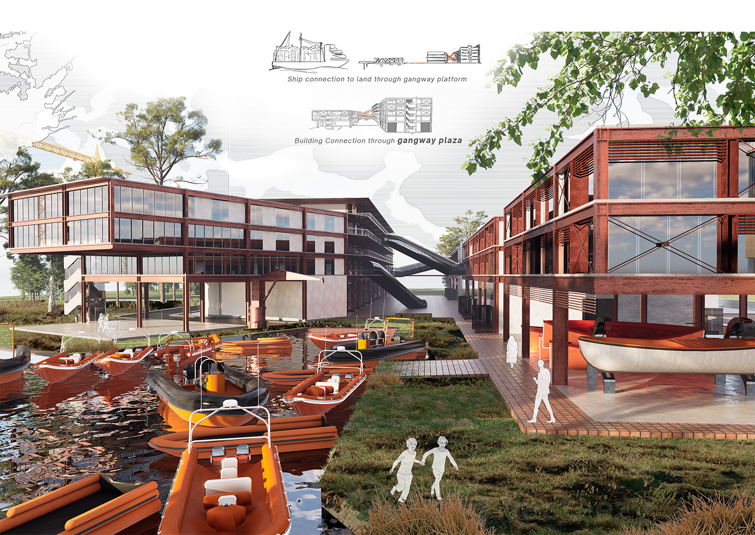
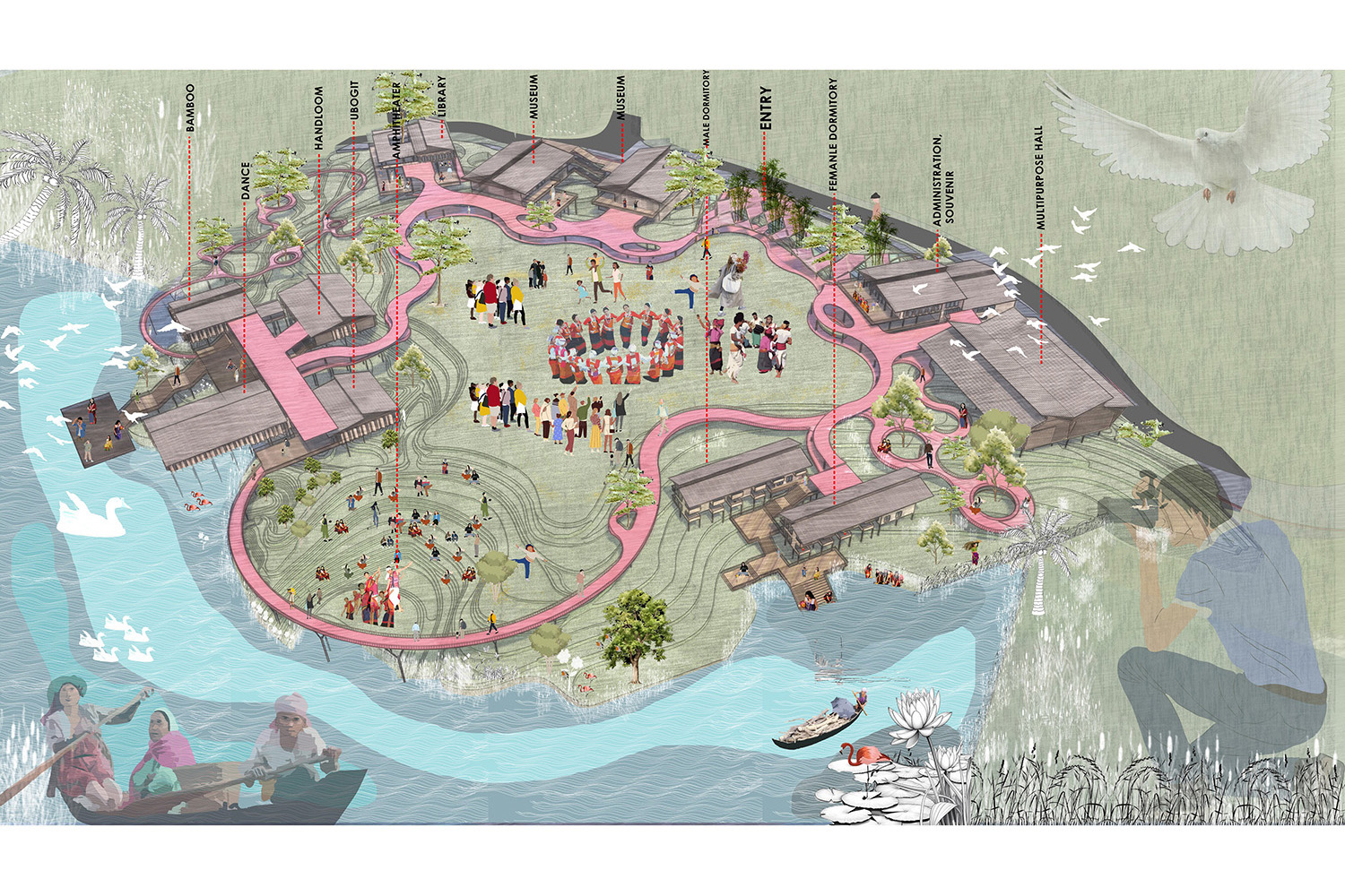
The project site is located at 11 and 12 no. ward of Narayanganj City Corporation area on Narayanganj district approximately 110 acres. As it is a historically enriched area having some archeological heritage buildings and places- The Shitalakshya river, Hajigonj fort, Bibi Mariam’s tomb complex, Borofkol playfield, Killarpool canal, and Kumudini Welfare Trust of Bengal Dockyard and office building can be identified as major landmarks of the site. The area of the Shitalakshya riverfront is occupied by government institutions and some of the areas are given as leases to private stakeholders. Hence unplanned government land use development and intrusion of various functions make the area more vulnerable. Considering all, the design decision is taken in terms of- accessibility, visibility, amenities, user group, and urban green & blue area in the proposed masterplan. Which consists Archeological institute, Amphitheatre, River ghats, Museum gallery- Mughal & Colonial, City centre-cineplex, convention hall, library, exhibition, food court, Riverpark, Playfield, Pedestrian & cycle track regarding the site and public demand analysis. Hence, the proposed masterplan integrates the river and the city people with the rich archaeological heritage and existing morphology of the area, combining public amenities demand and functional requirements. By instigating this process of integration of city people with heritage and river, the Shitalakshya riverfront could be a precedent for modern urban waterfront design.


