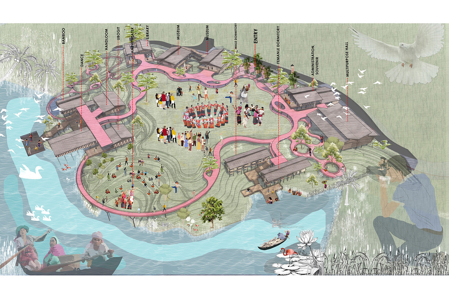
River Halda Awakening -A Research, Training and Awareness Centre| BRACU

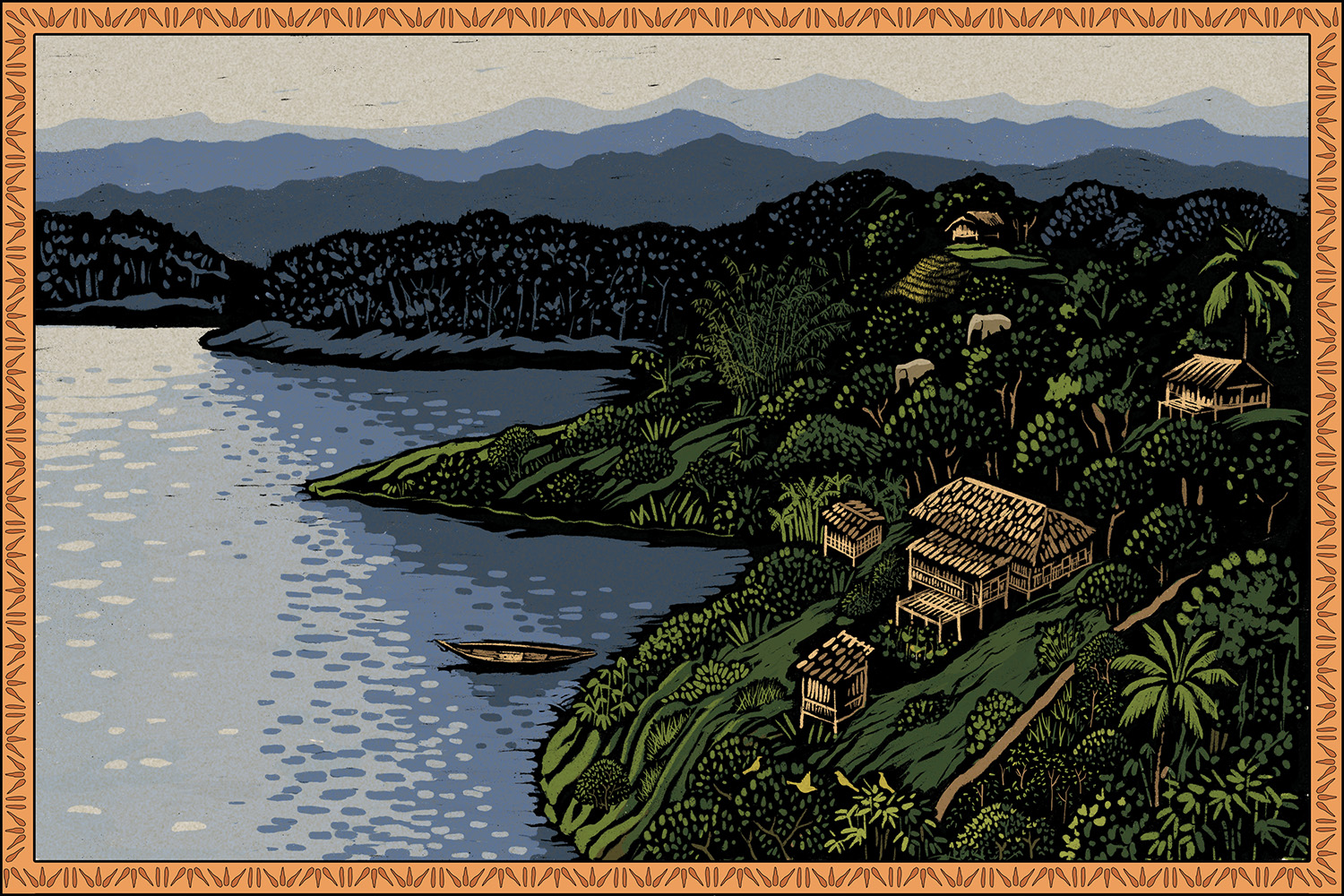
River Halda, originates from the hill-tract district of Khagrachari, Chittagong. It flows along the south west part of our country and confluences into the River Karnaphuli. Known as a fish-mine of Bangladesh, River Halda is very closely linked in the genesis of Rohu, Catla Catla, Mrigal and Kalibaush.
One focal physical feature, the ox bow bends of this river, combined with various other chemical and biological features make it unique. This is because the swirling movement that generates at the bends allows the river to generate the favorable conditions needed for the spawning of the carps. The River Halda, is believed to be one, out of only four rivers in the world, that can sustain the spawning process of these four major carps of the subcontinent naturally.

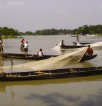
In the 1960s, River Halda produced about 3 times more the volume of fish than it does now, initiating a much greater scale of activity and a larger economic value in the world market. However, some interventions along the river edge led to the major degradation that the river faces today. Its deterioration is purely a cause of lack of awareness amongst locals residing along the edge, and the negligence from the government institutions to cause wakefulness locally and throughout the country. Amongst the many reasons, straightening of the river’s ox bow bends to control and tame the river flow, adaptation of improper methodologies of river edge protection to prevent homesteads and properties from getting destroyed by river edge erosion, illegal fishing of the brood fish when they migrate to the river during the spawning season, are the most effective ones in disturbing the balance of the ecosystem. A slow decrease in the economic graph follows as a result of these practices. This in turn acts to make the river a decreasing opportunity for fishermen, who are involuntarily led into changing from fishermen to agricultural farmers. And those few passionate ones left behind face extreme hardship and competition to earn a living.

Concept :
People today know very less about our rivers, their ecology, and little do they realize how dependent our daily lives are on these water bodies. This is primarily due to limitation of access and interaction amongst the river, its community and us. River Halda awakening is a project that generated from the original of providing a platform to this river. The project is about helping one relate to the systems, lifestyles, economy and many more that grow from and around the River Halda, by promoting awareness and sharing knowledge, research, thoughts on local and international scales. It is an effort to enlighten the society of river life and its community.

Thus the project was functionally developed on the rationale of providing River Halda its earned status as a national river. Structuring spaces of training, awareness programs, and forums for the fishermen and locals on how to cope with the river in environment friendly ways, on maintaining the balance of the river ecosystem, on conservation process of the river bank treatment and many more, was one of the focuses. One other was to include spaces that would bring this community into light, allowing interactive activities that generate interest and wakefulness amongst all people. This was achieved through providing spaces for community decks where people could have hands on experience with the fishermen in their daily life activities, allowing guided visits to fishermen’s homesteads nearby, building up a restaurant space surrounded by farmed landscapes which would involve the consumers directly into understanding the ways of farming and cooking in ways that does not harm the river. Providing a ground for intellectuals, allowing them into further research, was amongst one of the important functional necessities. This would give an understanding of what should be farmed along the river edge could be matured along with many other studies.


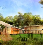
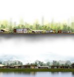
River Halda research, training and awareness centre was thought to be implemented very near to the river itself allowing maximum experience of its natural forces and wonders of the river life. The spawning ground of the carps is tested to lie within a certain 20 km of the river course, approximately from Sattar ghat to Moduna ghat as the locals and researchers suggest. The site was therefore chosen well outside this sensitive zone, very near to the confluence with River Karnuphuli. The potential area for human intervention is surrounded with government hatcheries, fishermen’s habitats and a proposed ecology enhancement zone. All these features were added up into a loop of experience for someone eager to gather an understanding of the subject. The formal implementation of the spaces was to establish an environment friendly approach. These would then be governed by the local people, welcoming rather than imposing them into the functions that would help them build up.

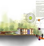
As river erosion is a crucial natural process to be addressed, the project was thought of to acclimatize the people with two methods of river edge protection. The idea was to plant Vetiver grass along the edge of the river bank allowing the tree roots to trap the soil preventing it from being washed away by the rivers flow. This would also mean that the existing vegetation be left untouched as much as possible, because cutting the large trees would loosen the existing soil structure.

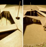
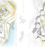
In mathematics, a Voronoi diagram is a way of dividing space into a number of regions. A set of points (called seeds, sites, or generators is specified beforehand and for each seed there will be a corresponding region consisting of all points closer to that seed than to any other. The regions are called Voronoi cells. In order to adapt to an eco-friendly course of action that would keep as much of the site intact, the whole site is overlaid in the Voronoi geometry. This is achieved by considering each tree trunk as a seed, connecting them first in triangulation and then by the midpoint method to form the Voronoi cells. Following this geometry allowed an understanding of the void spaces within the trees in which the architecture took shape. Each functional zone formulated into a polygon, with the sides placed in an away so as to allow maximum experience of the surrounding space that is lies adjacent to.

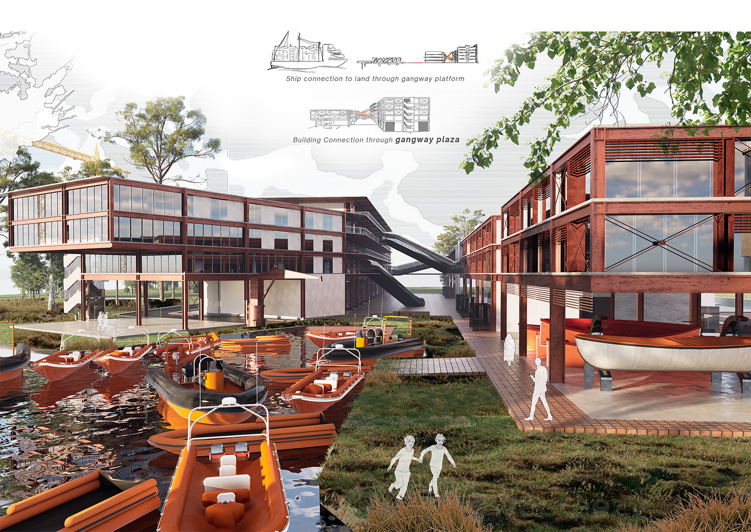
The undulations in the roof followed the principle of providing shade, going low where required, while going up to create generous views of the outdoor where necessary. The idea of “touch the ground lightly” is followed throughout the architectural process, with extensive use of materials that help blend into nature. Bamboo, mud and recycled wood, collected from the ship docks nearby, primarily define spaces, only with glass being introduced where there is an absolute necessity of temperature control and metal for structure.


This project was aimed to making people aware of one small process of nature and how dependent we are on each other. Crafted in a way so that it leaves a lasting effect of experience, knowledge and appreciation on people, the architecture was thought to create a dialogue in nature, helping people relate to bigger issues of everyday life that we neglect.
